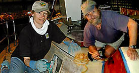


We are Mike and Rana
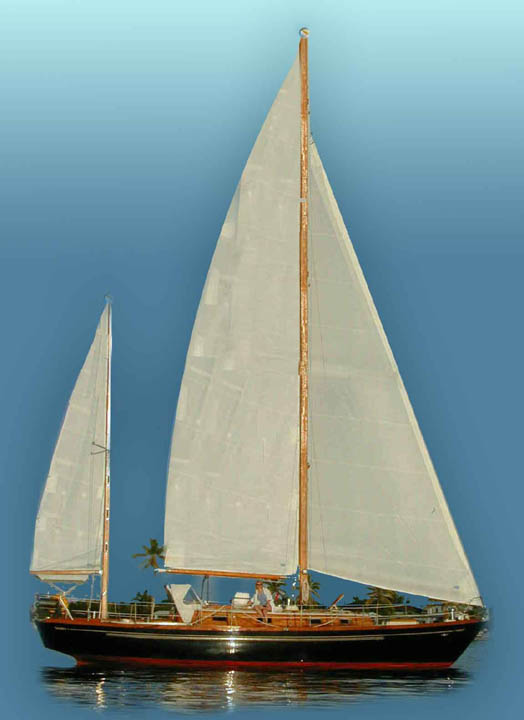
and we are sailing Raven on an open-ended voyage around the world. As we explore, we would like you to come with us. We will be updating our Ship’s Log and Photos pages as we go along. See our Home page to find where in the world we are currently located.
We have sailed through the Great Lakes, out the Erie Canal and down the East Coast for a winter in the Caribbean. At this point we will decide on whether to further explore Central America and the Caribbean, to cross to Europe, or to transit the Panama Canal and sail the South Pacific.
Twenty Years from now you will be more disappointed by the things you didn’t do than by the things you did do. So, throw off the bowlines. Sail away from the safe harbor. Catch the trade winds in your sails. Explore. Dream. Discover.
MARK TWAIN
Lighthouse photos through out our site are of ones we passed and relied on for safe navigation.

East Coast of the United States
The links on the left will connect you to the Ships Logs and photos for our 2005 cruise down the Hudson River, out into the Atlantic and down the US east coast to Florida. On the Hudson, we best loved the little town of Catskill, NY. In New York City, we took a mooring at 79th Street. It's the best deal in town. Atlantic City was not worth the stop, but Cape May was a delight. We only spent a day sailing down Delaware Bay, but the Chesapeake was full of wonderful stops such as Annapolis and could have taken an entire summer.
Jamestown is a historical site well worth a visit. Beaufort is very cruiser friendly, offering free autos for provisioning. The Mega Dock at Charleston is a major cruising community where we celebrated Thanksgiving. Savannah exhibits southern hospitality, and Brunswick has the best marina we have seen. The National Park on Cumberland Island is very beautiful, St. Augustine boasts historical reenactments by liveaboard sailors, and Ft. Lauderdale is a sailors paradise for refitting and provisioning.
ŠThe contents of this site are the copyright property of the authors. Visitors may read, copy, or print any material for their own use, free of charge. No material printed or copied from this site, electronically in any other form, may be sold or included in any work to be sold without explicit permission from the authors. Most maps have been extracted from Microsoft Encarta, and we thank Microsoft for their use.Some maps are extracted and modified from the New York Canal System's information. We thank them also